High-Precision Drone Services You Can Trust
At Divine Safety & GRP Consulting Services, we deliver high-precision drone services tailored to meet the demands of modern industries. Whether you’re managing a construction site, inspecting solar farms, or conducting detailed mapping, our FAA-licensed and insured drone pilots provide reliable, accurate, and efficient aerial data collection across the United States.
Our Services
Aerial Photography & Videography
2D & 3D Mapping
Thermal Imaging & Inspections
Construction Site Inspections
Volume Analysis

LiDAR & RTK Precision Mapping
Our Services
Aerial Photography & Videography
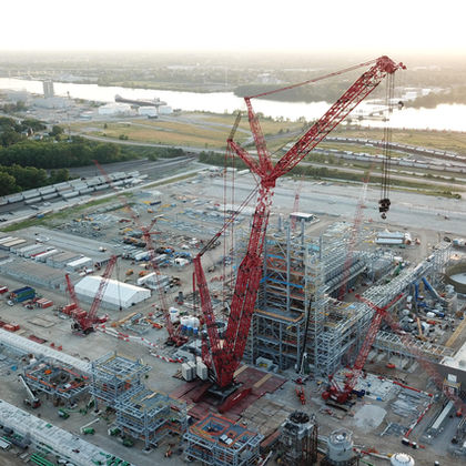
Capture high-resolution images and cinematic video from above for site monitoring, marketing, etc.
Construction Site Inspections
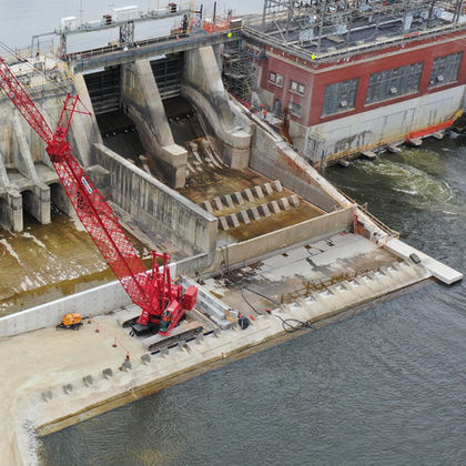
Monitor progress, enhance safety compliance, and improve project documentation with regular aerial overviews.
2D & 3D
Mapping
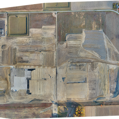
Generate detailed Ortho mosaic maps and 3D models for land and site development, surveying, and infrastructure planning.
Volume
Analysis
Accurately calculate stockpile volumes and earthworks using aerial data and photogrammetry.
Thermal Imaging & Inspections
Identify hotspots, system inefficiencies, and structural issues with industry-grade thermal imaging.
LiDAR & RTK Precision Mapping
Achieve ultra-accurate elevation data and terrain modeling with LiDAR sensors and Real-Time Kinematic (RTK) positioning.
.jpg)
Why Choose Us?
Licensed, Insured & Bonded
Nationwide Service (USA)
Custom Packages Available Upon Request
Projects That We Have Worked On
Need Aerial Data ?
Our FAA-licensed drone pilots are ready to deploy nationwide, with quick-turn scheduling and reliable results you can trust. Whether it’s construction progress, solar inspections, or precision mapping, we deliver the data you need when you need it.
Don’t wait—get accurate aerial insights today.

Contact Us For Drone Services!
Have any questions or want a quote? Fill out our form and we'll be in touch!


